Compare the permit register with the ground, parcel by parcel.

Unpermitted Construction Detection sets your permit register against the built environment every quarter and returns a list of parcels where the footprint has no permit behind it. You review each flag before anyone drives out.

Schematic parcel grid with one flagged parcel
Permitted envelopeBuilt footprintFlagSchematic, not imagery.
GSD
VHR / ≤0.5 m
Cadence
Quarterly
Platform
VHR satellite
Spectral
RGB

The queue follows the phone

A neighbor calls about a second story going up behind a garage. The officer pulls the parcel, finds no permit on the register and drives out. That is a good day, because the case exists only because someone complained.

An addition closed in over a weekend, a detached structure behind a fence on the far side of the jurisdiction: those wait for a sale, a refinance or a later permit application to bring them up. Drive-bys cover the streets the officer happens to take. The register knows what was approved, and nobody has laid it over what is standing.
The same caseload, started two ways

The same caseload, started two ways
StepComplaints and drive-bysWith the quarterly comparison
Where a case startsA complaint call, a referral from another department, or something an officer spots on a drive-by.A flagged list for the whole jurisdiction each quarter, one row per parcel where the built footprint and the permitted envelope disagree.
Still yoursComplaints keep coming and stay in the queue.
Choosing which parcels to visitThe queue is worked in the order calls arrived and by area, and the loudest caller moves first.The flagged list is keyed to parcel ID, so you can group by neighborhood and plan a day of visits around a street.
Checking the record before you rollPull the parcel, read the permit history, open the county's aerial viewer and hope the picture is recent.The footprint comparison layer shows the built outline against the permitted envelope on the parcel, and the change flag says whether it showed up since the last pass.
Getting it into the case systemType the case in by hand from the complaint slip.A CSV keyed to your parcel ID, ready to match against the permit and code enforcement records you already keep.
Keeping up between sweepsNothing looks at the parcels nobody called about.The next quarterly pass compares against the last one, so new or altered structures since then are flagged as such.
Deciding it is a violationThe officer inspects, checks the code and the record, and decides on a notice.Same inspection, with the discrepancy already in hand.
Still yoursThe determination, the notice of violation and any stop work order. A flag is a reason to look.

What lands each quarter

One delivery per pass, in files you can open in your GIS and a spreadsheet.

  1. CSV

    Parcel-level flagged list

    Every parcel where the built footprint disagrees with the permitted envelope, keyed to parcel ID. This is the list that goes into the review queue.

    Where a case starts

  2. GIS layer

    Footprint comparison layer

    Built outline and permitted envelope drawn together on each flagged parcel. Open it beside the parcel and permit layers in your GIS before you decide who goes out.

    Checking the record before you roll

  3. Field in the list

    Change flag

    Marks a parcel whose structure is new or altered since the last pass. It tells you whether you are looking at something old that nobody caught or something that went up this quarter.

    Keeping up between sweeps

  4. CSV

    CSV export

    The flagged list as a spreadsheet, so it can be sorted, assigned and matched against the permit system by parcel ID.

    Getting it into the case system

Through the quarter

You send the register and the boundary once, then again with each pass.

  1. Before the first pass

    Send the register and the boundary

    Your permit register and the jurisdiction boundary. The register needs to be geocoded or matched to parcels so permits can be laid against the ground.

  2. Each quarter

    Quarterly pass

    Very-high-resolution satellite imagery over the jurisdiction, in a clear-sky window.

  3. Each quarter

    Built footprint compared with the permitted envelope

    The outline of what stands on each parcel is set against what the register allows there.

  4. Each quarter

    Flags delivered

    The flagged list, comparison layer and CSV go to you for the review queue.

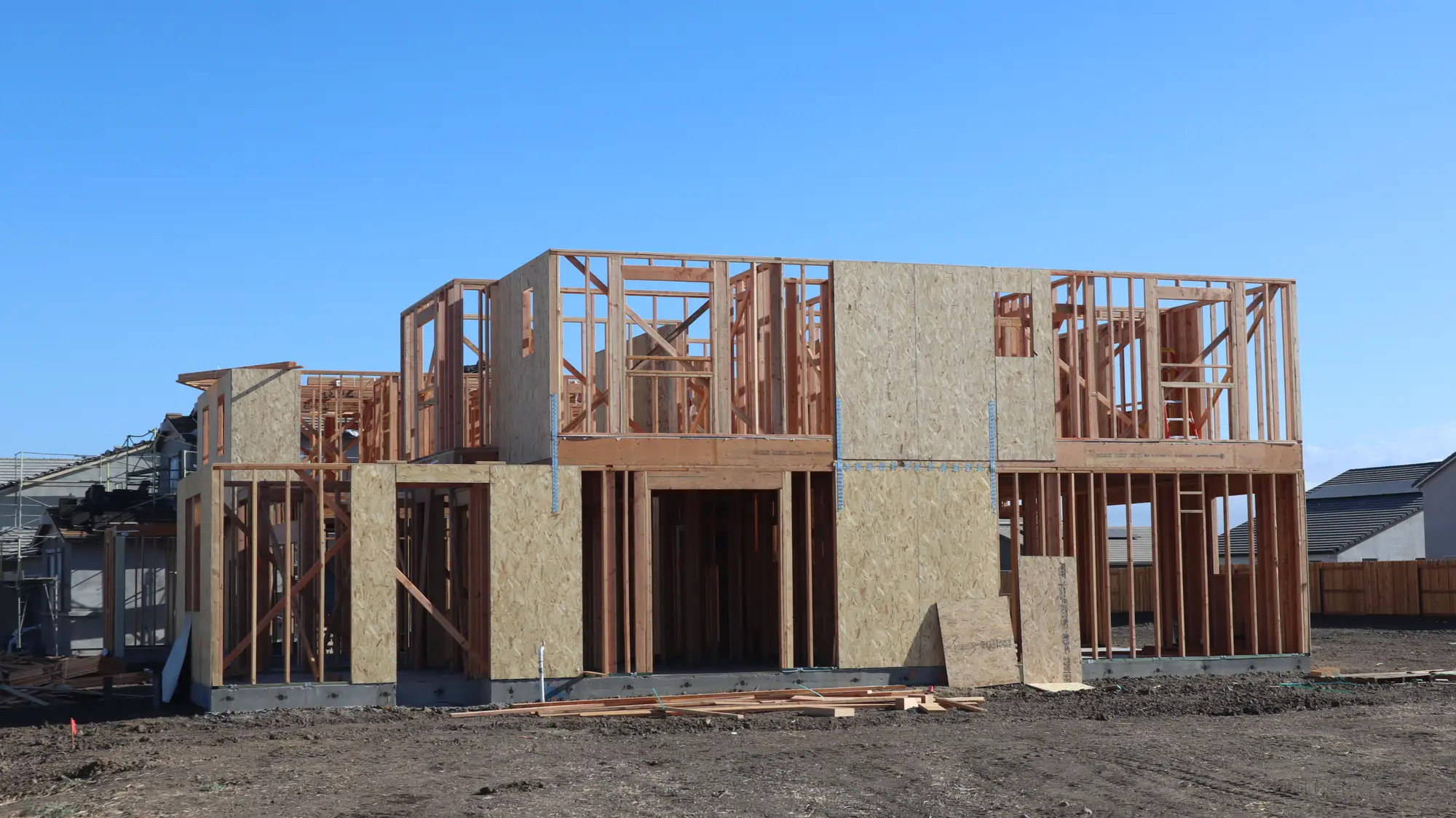
Timber framing and sheathing of a two-story house going up on a cleared lot

What the complaint queue still does better

Read these before you plan enforcement around the list.

  1. The register is a snapshot

    The comparison is only as current as the register you supply at each pass. A permit issued after that snapshot can still show up as a flag.

  2. Outside walls only

    The comparison reads exterior built form from above. It cannot see inside a building, a change of use, a converted garage that kept its footprint, or how many people live there. A neighbor who has been inside can.

  3. Pixel size sets what is visible

    At 0.5 m a pixel is about half a meter on the ground. Extensions and detached buildings show. A small shed, a fence-line lean-to or anything under a tree canopy may be a few pixels or fewer and can be missed.

  4. Cloud can move a pass

    Imagery is optical. A blocked window is retried in the next available window, so a quarter's list can arrive late. Cadence is a target, not a delivery date.

  5. Some work needs no permit

    Structures your code exempts from permitting can still turn up as flags. The list does not know your exemptions, so the officer does.

  6. A flag is not a finding

    It is a discrepancy for a person to look at. Setbacks, exemptions, older approvals and register errors all produce flags that turn out fine.

Who it's for

Switch if

  • You work a code enforcement or planning review queue for a city or county and want the register checked against the ground.
  • You hold a permit register that is geocoded or can be matched to parcels.
  • You want a list to plan visits from, ahead of the next complaint.

Stick with complaints and drive-bys if

  • You need interior, use or occupancy findings.
  • You want a system that issues notices or decides a violation.
  • Your register is on paper and cannot be matched to a parcel.

Before you switch

Does a flag mean a confirmed violation?

No. It marks a footprint that does not match the permit on record. Your process decides whether anything follows.

Does this replace complaints?

No. Complaints keep coming and keep being worked. The list adds parcels nobody has called about.

Can it see inside or tell how a building is used?

No. It reads exterior built form from above against the permitted footprint.

What if our permit register is not digitized?

Comparison needs a geocoded or parcel-matched register. Tell us what you keep and we will say what format works.

How do we check it against our own records?

Take a set of flagged parcels you already know, some cleared and some open, and see whether the list agrees with your files. Then spot-check a sample in the field.

How current is the comparison?

As current as the register you supply at each pass. It does not follow permits issued after that snapshot.

Does cloud cover delay a quarter?

Yes. A blocked pass is retried in the next available window.

Who owns the imagery, and what does it cost?

We talk through imagery rights and cost with you before you commit. Neither is quoted on this page.

Get started with your jurisdiction

Send the register and the boundary, and the first list is built against them.

Get started